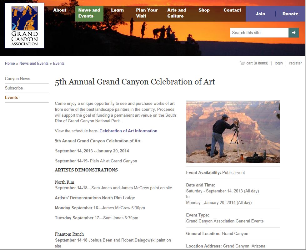


Canyonlands Hiking Trails
Canyonlands offers a variety of great hiking options, from short strolls to strenuous day hikes and multi-day backpacks. Below we list many of the more popular trails.
Aztec Butte Trail
![]()
Ancient Ancestral Puebloan (Anasazi) people lived in
this area and some of their rock structures can be seen
on this hike. The trail ascends Aztec But...(more)
Big Spring/Squaw Canyon Loop
![]()
This is a fun loop hike through spectacular scenery, up
one canyon and down the other. Hiking is fairly easy in
the canyon bottoms. To complete the lo...(more)
Cave Spring
![]()
This short, easy hike provides great scenery plus
glimpses into the past, as you view a historic cowboy
camp and also prehistoric Native American rock...(more)
Chesler Park Loop
![]()
Chesler Park is a relatively flat grassy area surrounded
by amazing rock formations, located in the Needles
District of Canyonlands National Park. Thi...(more)
Confluence Overlook
![]()
The Confluence marks the spot where the Green River and
the Colorado River come together, in the heart of
Canyonlands National Park. The Confluence is...(more)
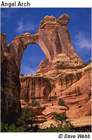
Elephant Canyon to Druid Arch
![]()
The hike described here extends from the Elephant Hill
Trailhead up Elephant Canyon to an overlook offering
great views of Druid Arch - one of the mos...(more)
Grand View Point
![]()
Grand View Point is a famous vista on the edge of Island
in the Sky mesa, in Canyonlands National Park. It offers
panoramic views of the surrounding a...(more)
Horseshoe Canyon (Great Gallery)
![]()
The Horseshoe Canyon Trail leads to The Great Gallery, a
remarkable ancient Native American rock art site. The
route follows a well-marked trail down...(more)
Lower Red Lake Canyon
![]()
This is a long, very strenuous hike through the Needles
down to the Colorado River. It can be done as a long day
hike but is better as a backpack trip...(more)
Mesa Arch
![]()
Mesa Arch is a famous structure in the Island in the Sky
District of Canyonlands National Park. Impressive photos
show rugged canyon country in the di...(more)
Peekaboo Trail
![]()
This trail runs between the Squaw Flat Campground and
the Peekaboo Campground, in the Needles District of
Canyonlands National Park. The trail is well...(more)
Pictograph Fork To Harvest Scene
![]()
This is a loop hike to a famous pictograph panel in the
Maze District of Canyonlands National Park. The Maze is
extremely rugged and remote. Just d...(more)
Pothole Point Trail
![]()
This trail loops around an area of slickrock where there
are numerous potholes. These basins in the sandstone
retain water after storms. The trail off...(more)
Roadside Ruin Trail
![]()
This short, easy hike allows visitors to see an ancient
ancestral Puebloan granary built of stone and dried mud.
(more)
Slickrock Trail
![]()
This trail follows a plateau finger out to vistas
overlooking classic Canyonlands scenery. Bighorn sheep
are sometimes seen in this area. The trail su...(more)
Syncline Loop
![]()
This strenuous trail circles Upheaval Dome, in
Canyonlands National Park. Halfway around the loop there
are two spur trails, one leading into the dome...(more)
Upheaval Dome Overlook
![]()
Upheaval Dome is a geographic oddity, an anticline where
rocks have been pushed up and then eroded to produce
interesting strata. Surrounding the dome...(more)
Upper Salt Creek
![]()
Some of Canyonlands’ most spectacular archaeological
sites and arches are found in the Salt Creek drainage.
The Upper Salt Creek Trail runs for 22.5 m...(more)
Whale Rock Trail
![]()
Whale Rock is a rounded, eroded sandstone fin that is
fun to climb. Handrails are provided to help people
reach the top, where you are rewarded with i...(more)
![]() Easy
Easy
![]() Moderate
Moderate
![]() Strenuous
Strenuous